 This unlikely doorway was the entrance to the original
Spa Road station.
(May 2006)
|
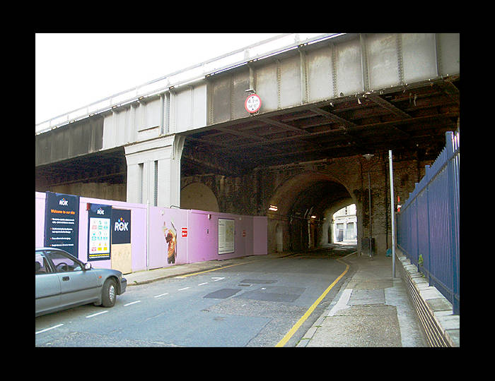 The entrance seen above is on the left of the arch
here on Rouel Road, just past the lilac hoarding. Several widenings
of the viaduct have taken place, some more obvious than others.
(May 2006)
|
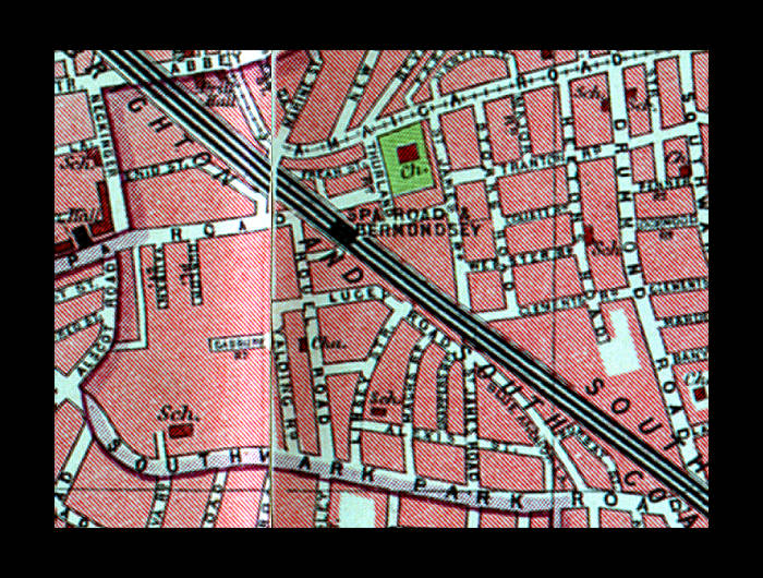 1930s map of the area, inexplicably showing Spa Road
& Bermondsey station, even though it had closed at least
15 years prior to publication of the map. The original Spa Road
station was located slightly to the North-West, by the junction
of Frean Street and Rouel Street (Frean Street has now disappeared
from the map: a housing development has been built in
the square enclosed by Rouel Road, Old Jamaica Road, Thurland
Rd, & Spa Road).
|
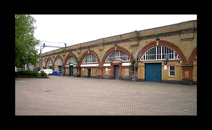 View of the north-eastern parapet and arches of the
second Spa Road station.
(May 2006)
|
 Commemorative plaque sadly somewhat obscured by foilage
when this photograph was taken. Technically it is correct, in
that it states that Spa Road station was London's first railway
terminus but being pedantic, it doesn't state that that particular
distinction belongs to the original station, slightly north-east
of this one.
(May 2006)
|
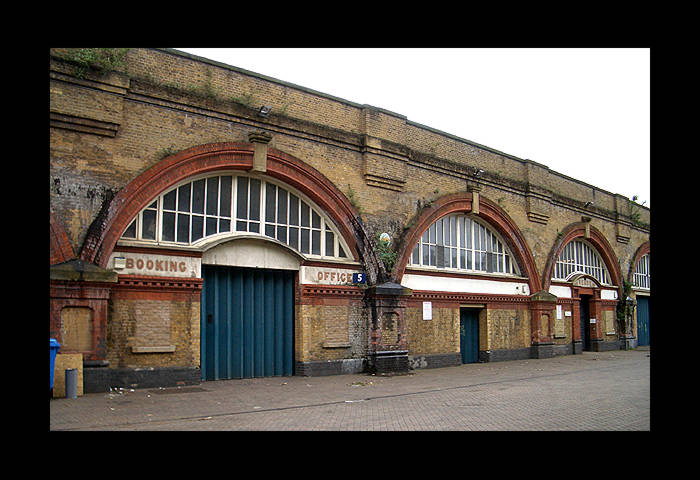 Closer view clearly showing the Booking Office lettering
and what appear to be bricked up ticket windows.
(May 2006)
|
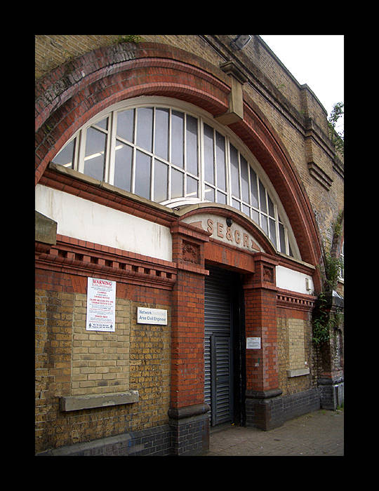 This arch displays the SE & CR signage and some
more of the bricked up ticket windows.
(May 2006)
|
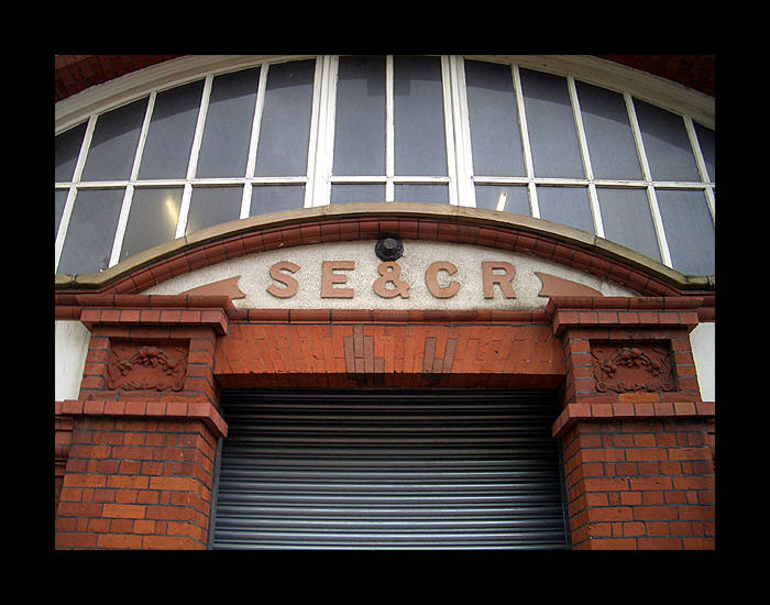 South East & Chatham Railway signage.
(May 2006)
|
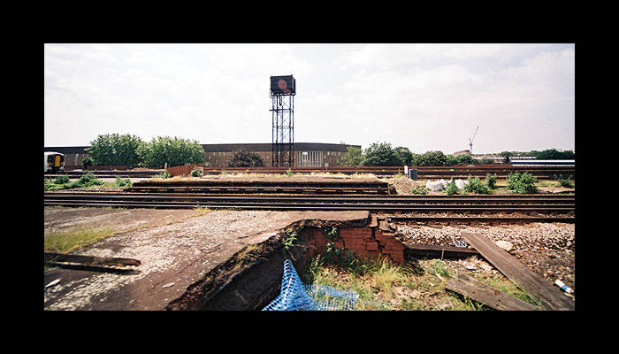 There are platform remains of this station, still
with intact access passageways to street level; they were used
to evacuate survivors from the nearby 8th Jan 1999 train crash
to safety through the old station.
(June 2006).
|
|
An aerial image, taken from The Shard, of the (second) Spa Road platform site. The spread of the tracks is still apparent.
(photo: Aug 2017)
|


