|
|
||||
|
|
||||
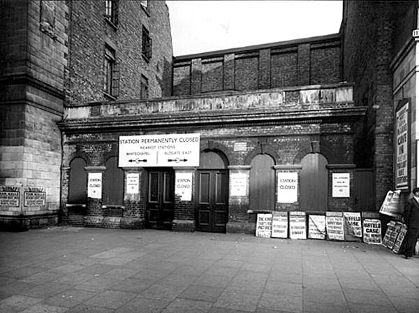
The station building area in Aug 2021, awaiting re-development. |
||||
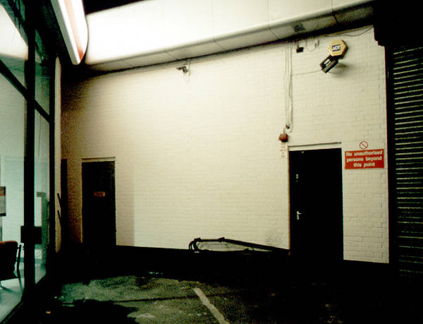
They were the only clue at surface level that there was ever a station there.
|
||||
|
The wall still remains and that is virtually all you will see from a passing train.
|
||||
|
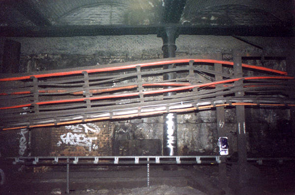
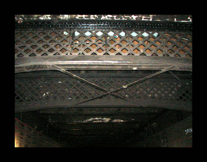 View from track level of the crossover passage ironwork, still in place in June 2006.
|
||||
|
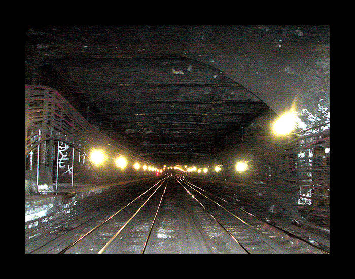 View from track level in June 2006.
|
||||
|
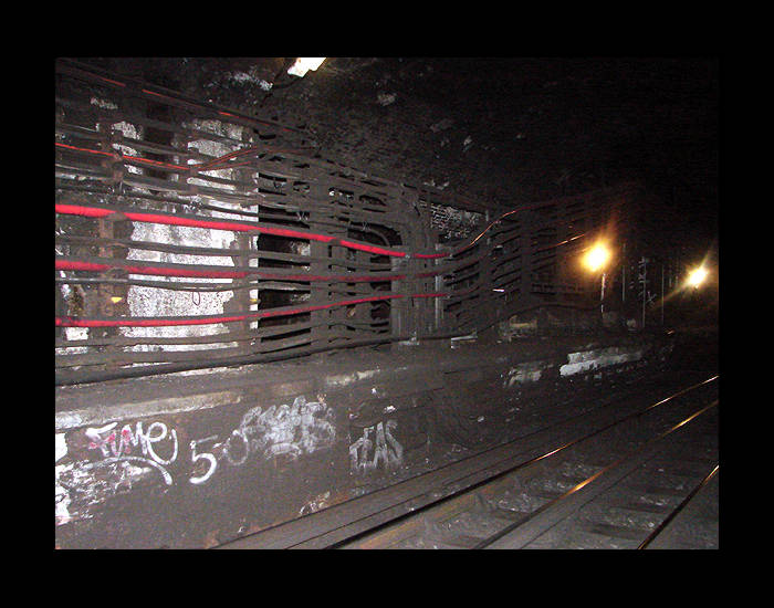 View from track level in June 2006.
|
||||
|
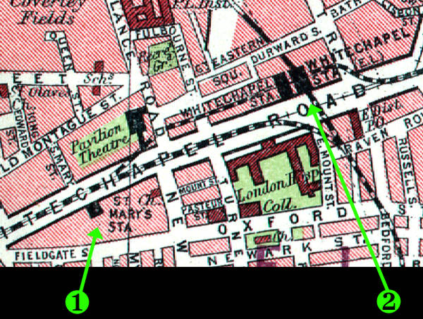
Interesting map from the 1930s showing 1) St.Mary's station and 2) Whitechapel station layout, clearly showing the District line, (what is now) the East London line, and the St.Mary's curve connection between the two. The St.Mary's curve was decommissioned during the East London Line overground conversions works and the tunnel blocked off. |
||||
Photo by Gary. ©2011 |
||||
Photo by Gary. ©2011 |
||||
The platform area sealed off from the tracks by the brick wall. Photo by Gary. ©2011 |
||||
Eastward view of the line curving round to the left toward Whitechapel station. Photo by Gary. ©2011 |
||||
As above but a closer view. The tunnel going straight on is the link to the East London line, once used by Metropolitan line trains to New Cross/New Cross Gate but now severed. Note the changes in the roof. Photo by Gary. ©2011 |
LINKS
The BBC have an online movie tour by historian Dan Cruickshank in The London Nobody Knows. Click here for it on the BBC's website or here for it on YouTube.
